
Jefferson County
Wheat Ridge
Wheat Ridge began as a rest stop on the road to the goldfields in 1859 and took its name from the wheat fields visible from the Overland Trail. Orchards and greenhouses followed; by the 1960s local growers were shipping carnations to the White House, and the Carnation Festival has run every year since 1970. The city incorporated in 1969 and is home to about 32,000 residents on just under ten square miles.
The Greenbelt and Crown Hill
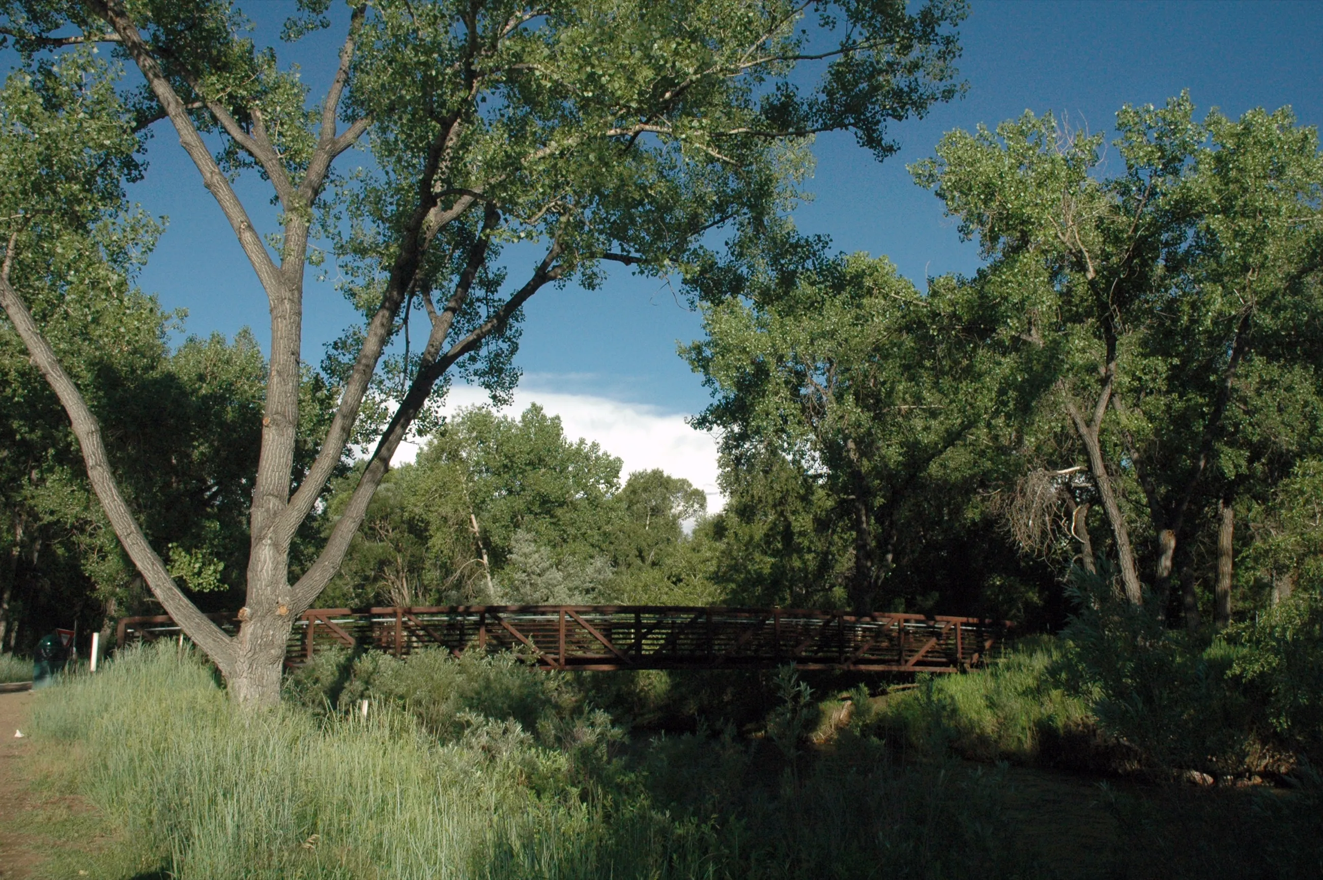
The Wheat Ridge Greenbelt follows Clear Creek for about five miles between Youngfield and Harlan Streets, with Anderson Park and Prospect Park as the main access points and a footbridge over the creek. Crown Hill Park, 242 acres of Jefferson County open space shared with Lakewood, wraps a 55-acre lake with about ten miles of trail.
Ridge at 38
West 38th Avenue is branded Ridge at 38 — the city’s main street of locally owned restaurants, bakeries and shops centered near Harlan Street, with a public green and stage that host Ridgefest and summer events. The G Line’s western terminus at Wheat Ridge·Ward station connects to Union Station in about 25 minutes.
Homes and housing character
- Brick ranches and bungalows from the 1950s and 60s, many with hardwood floors and original detail, frequently on larger lots carved from former orchard and greenhouse parcels.
- Newer townhomes and mixed-use infill along 38th Avenue and Wadsworth Boulevard.
Market note · Nov 2025 – Aug 2026
Because the city is small, monthly medians swing widely: Redfin showed about $600,000 in November 2025 while ZIP 80033 tracked near $659,000 in August 2026.
Source: Redfin / TopHap. Figures change monthly; contact Megan for current MLS data.
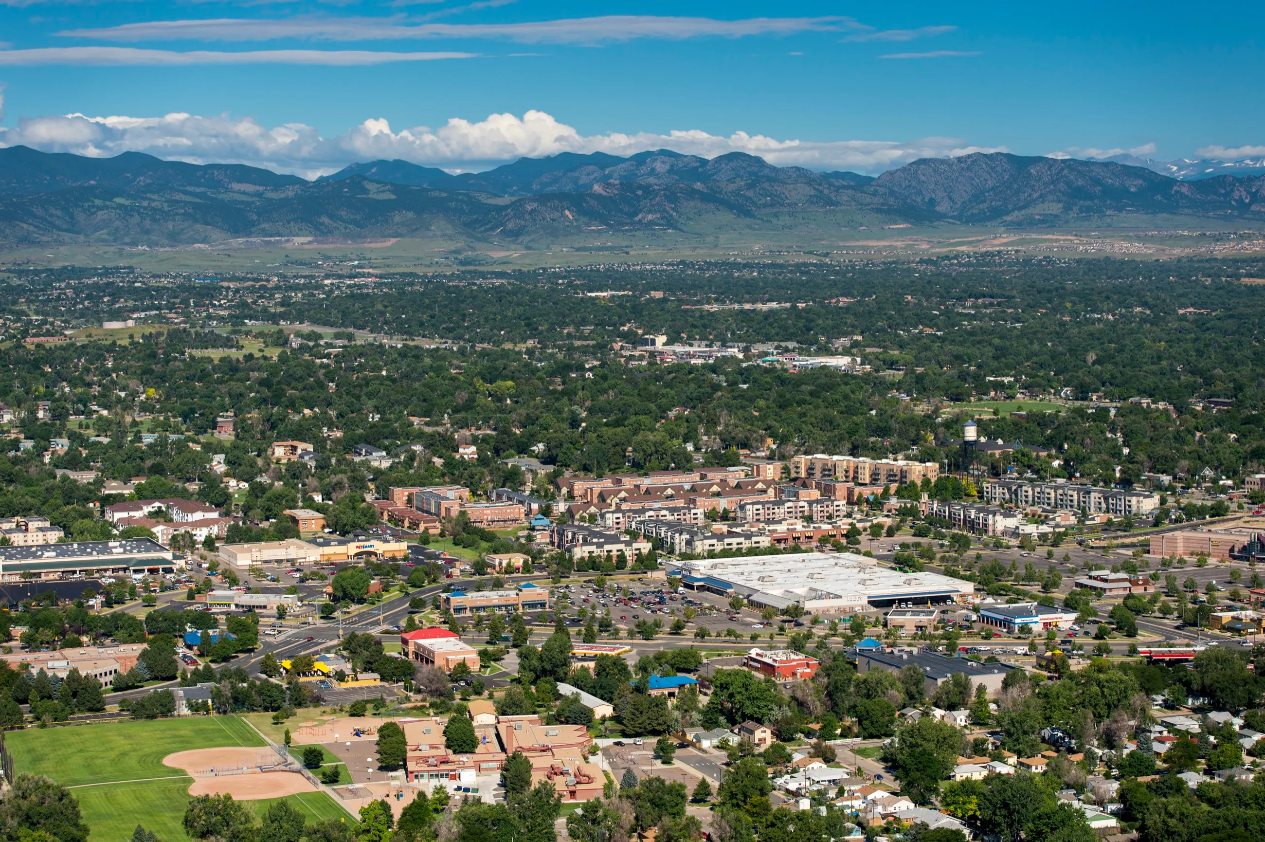
Photo: DimiTalen, Wikimedia Commons, CC0.